Week 2: Southwest desert country
Tuesday 1 June
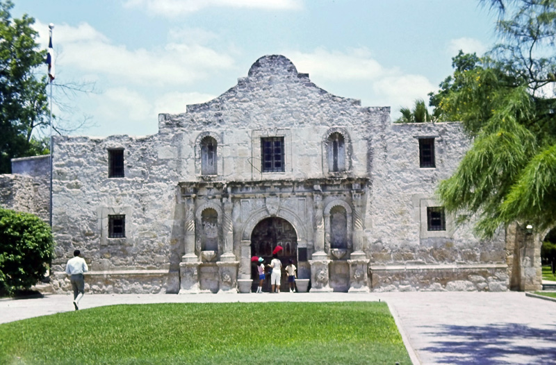
The Alamo Mission, San Antonio
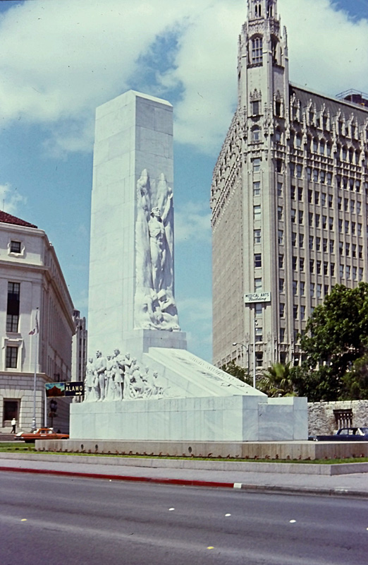
The Alamo Cenotaph, San Antonio
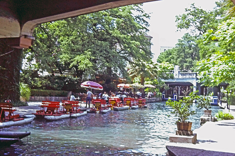
San Antonio River Walk
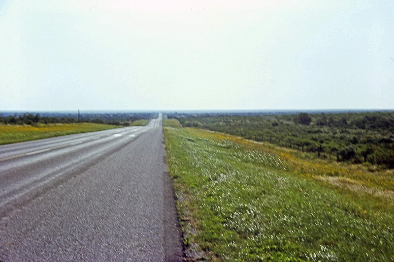
Long, straight, empty road with very little to see. We covered 1000 miles in two days crossing Texas.
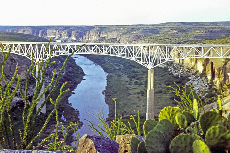
Crossing the Pecos River
We camped that night in Big Bend National Park.
Wednesday 2 June
View from the campsite in Big Bend
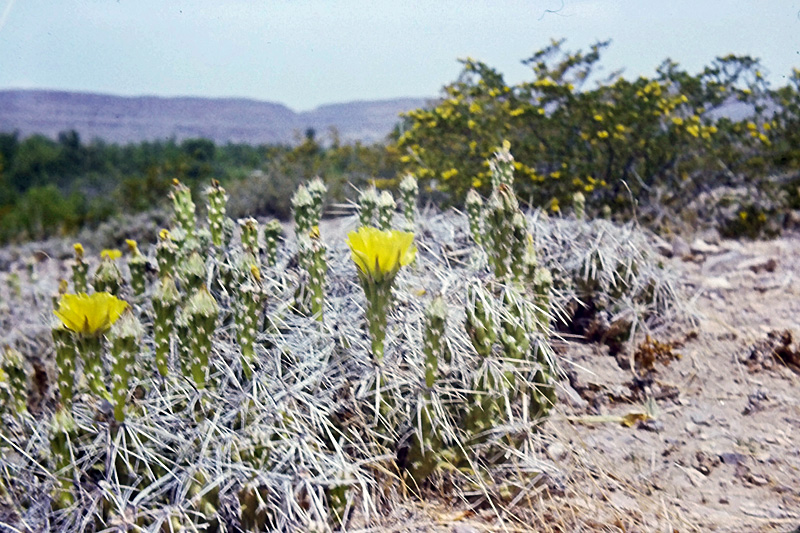
Flowering cacti in Big Bend
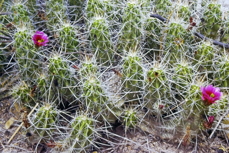
More cacti
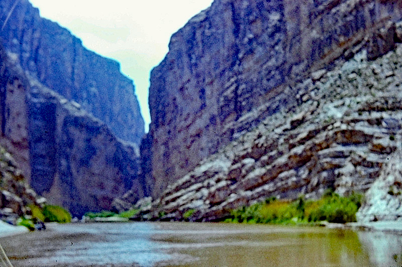
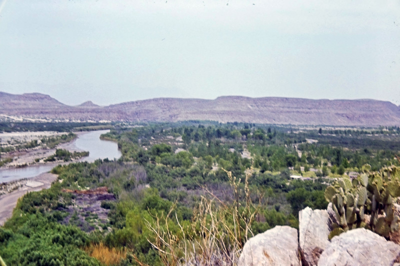
Canyon of the Rio Grande
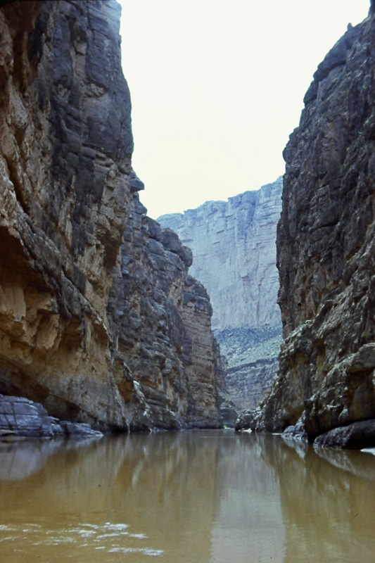
Another view of the canyon
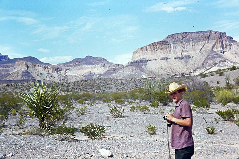
Final view in Big Bend National Park
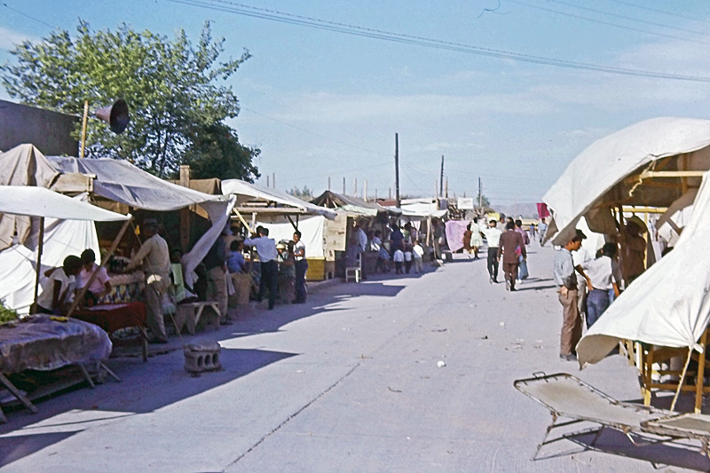
We briefly crossed the border to visit Ojinaga, Mexico
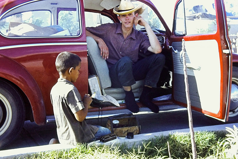
Mexican shoeshine boy was pleased to earn a US dollar
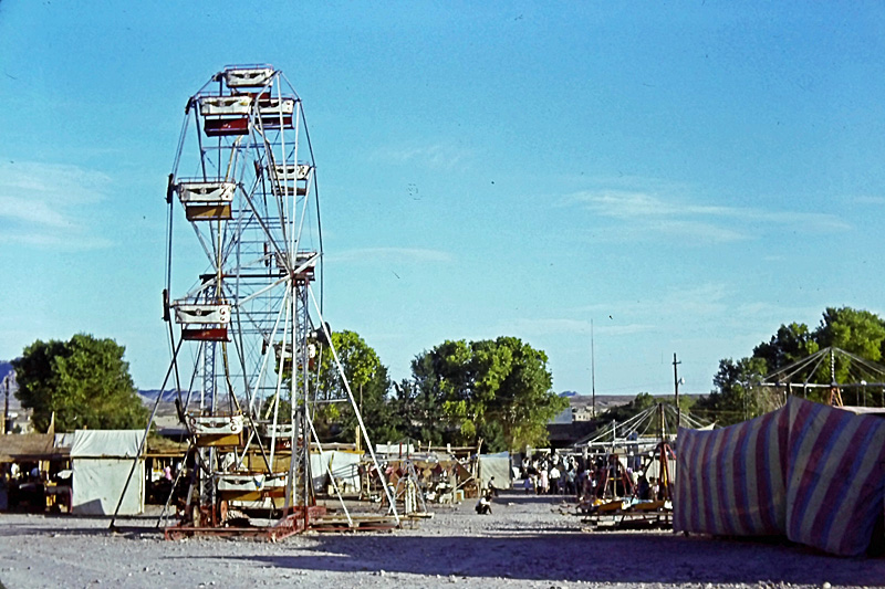
Funfair in Ojinaga
We crossed back into Texas and camped in Balmorhea State Park.
Thursday 3 June
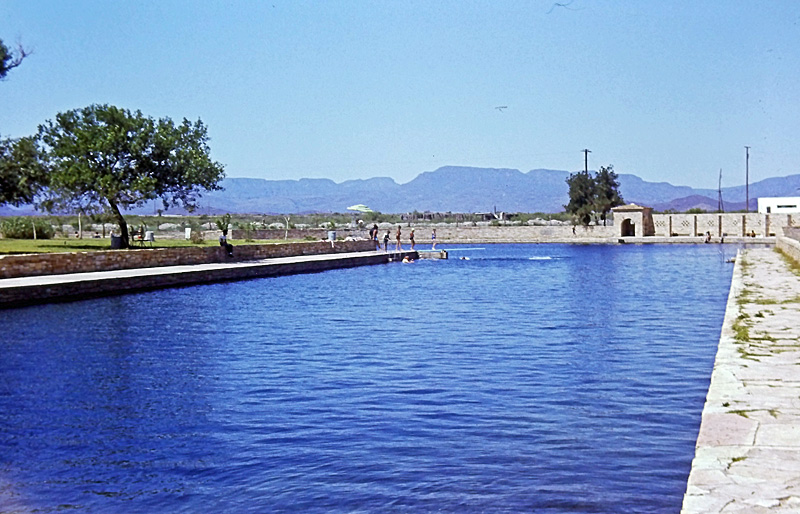
We enjoyed a swim in what was claimed as the "largest swimming pool in the world", in Balmorhea State Park
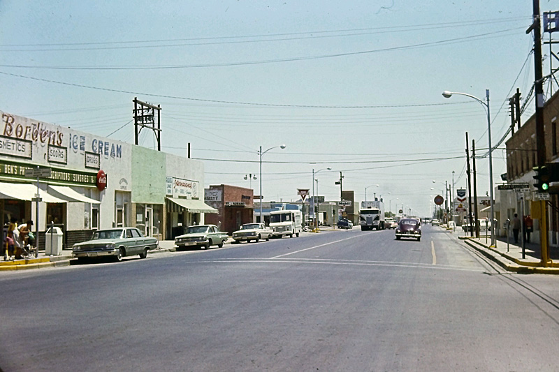
Typical small town in the Southwest. This is Pecos, Texas.
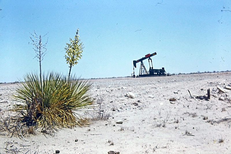
We passed these nodding donkey oil pumps everywhere in Texas
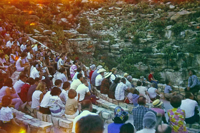
Carlsbad Caverns, New Mexico, at dusk. The crowds are waiting for the millions of bats that fly out of the cave at nightfall.
After seeing the bats emerge, we camped in the Carlsbad Caverns National Park.
Friday 4 June
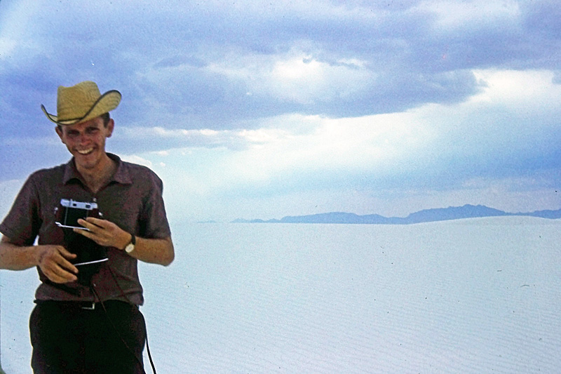
Clive at White Sands National Monument, New Mexico. The camera couldn't really capture the dazzling white of the sands.
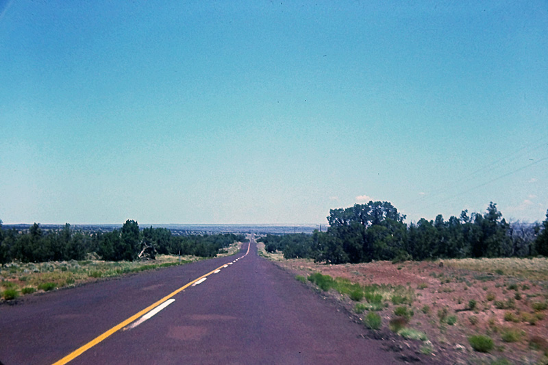
Another of those endless straight roads through empty scrubland
We drove across New Mexico into Arizona and camped in Lakeside, Ariz.
Saturday 5 June
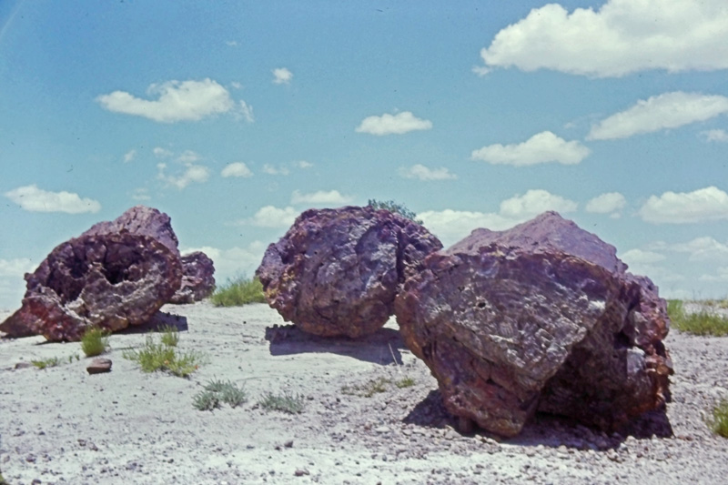
In the Petrified Forest National Monument, Arizona
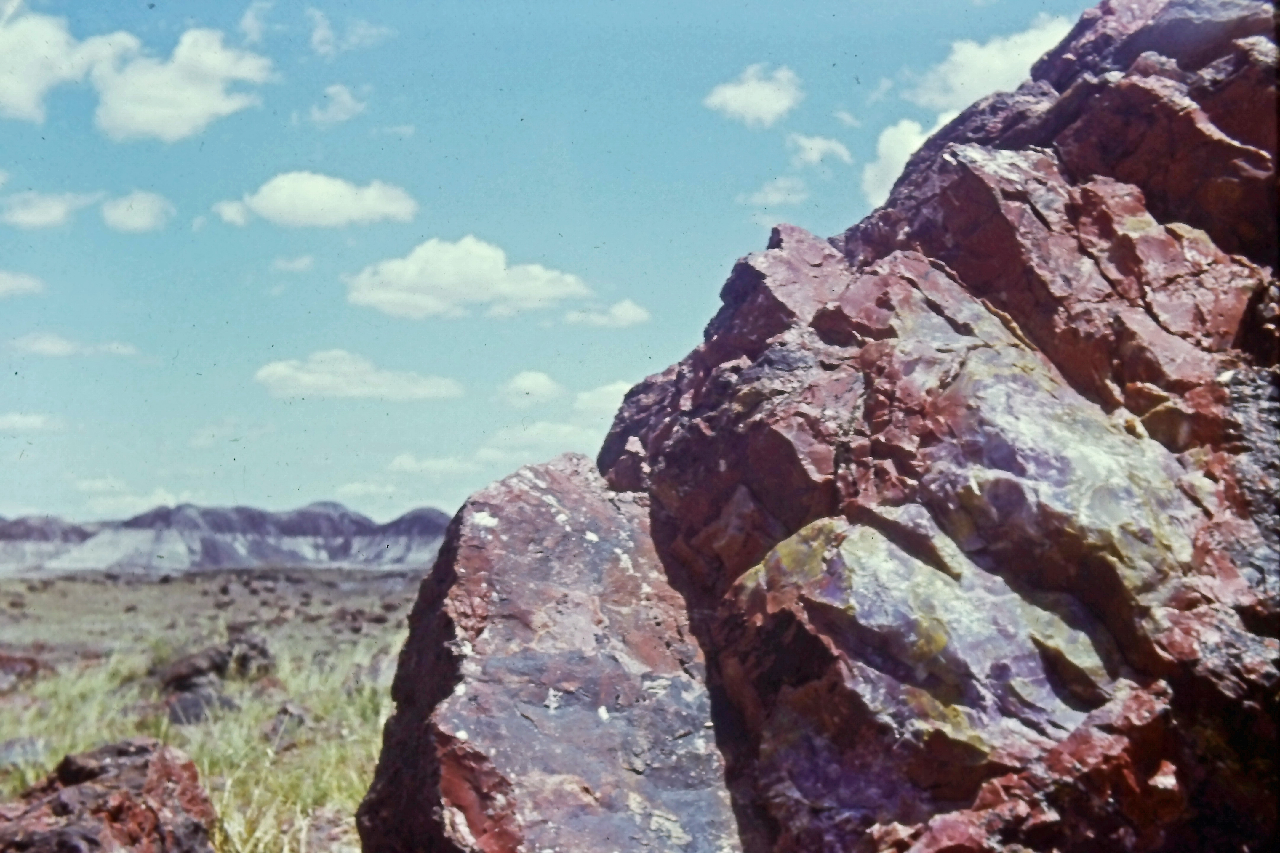
More petrified timber
An entire petrified tree trunk
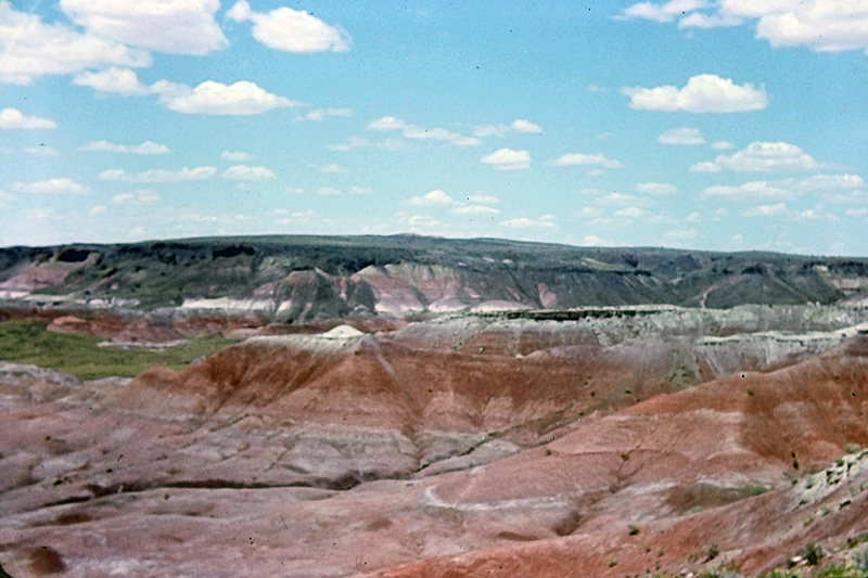
The Painted Desert area in Arizona
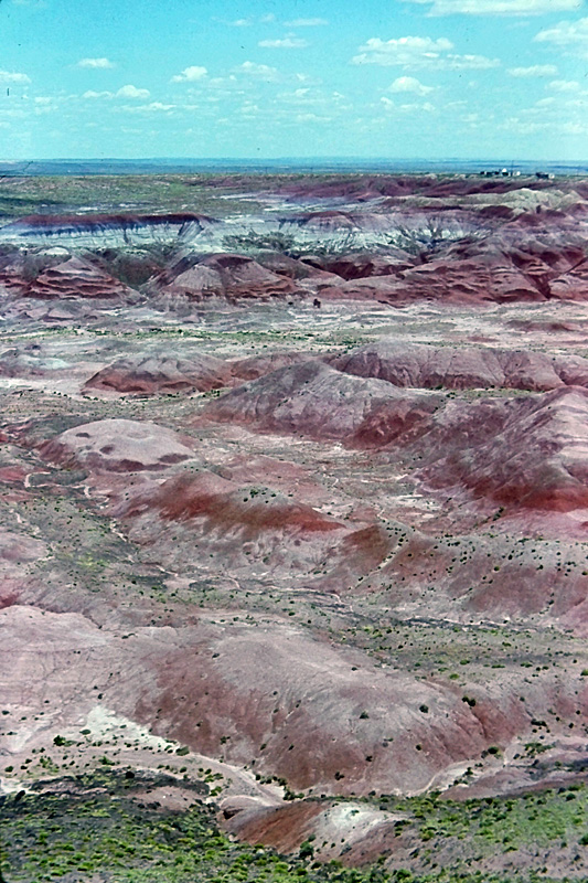
I took several photos of the Painted Desert, but the colours did not come out very well
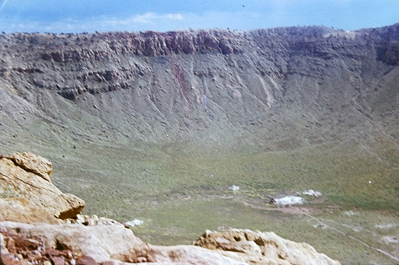
Meteor Crater, Arizona
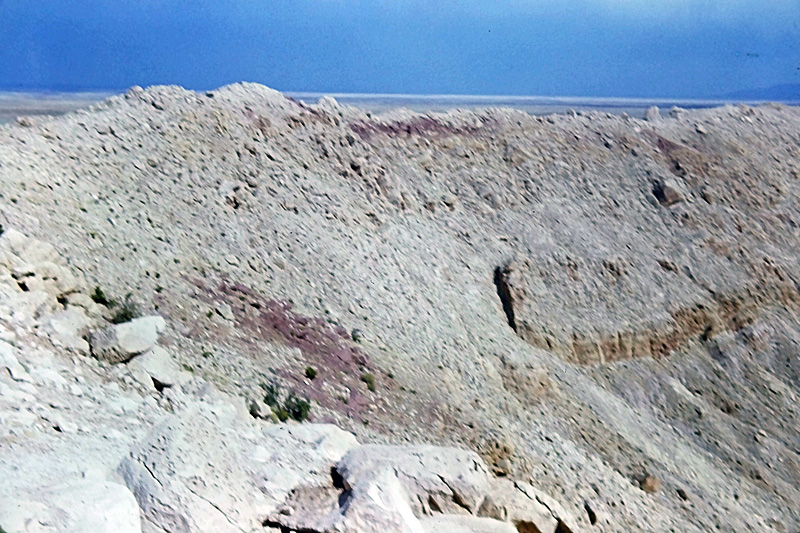
The rim of the meteor crater
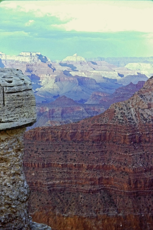
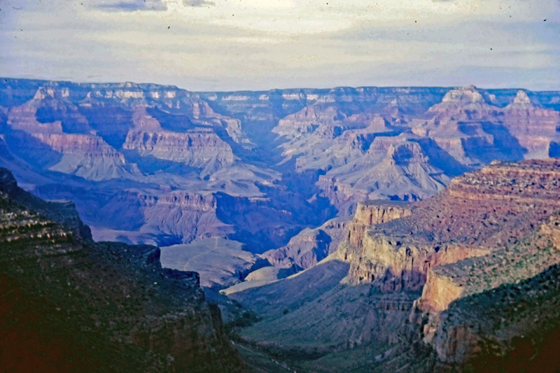
First view of the Grand Canyon
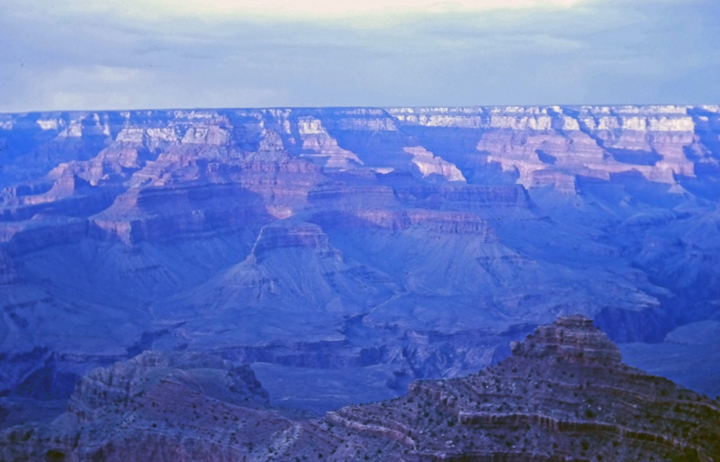
Sunset from the South Rim
We camped in The Grand Canyon National Park, in an excellent campground by the South Rim of the canyon.
Sunday 6 June
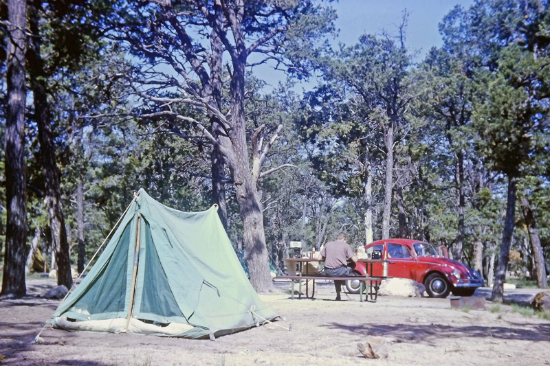
Breakfast at the campsite
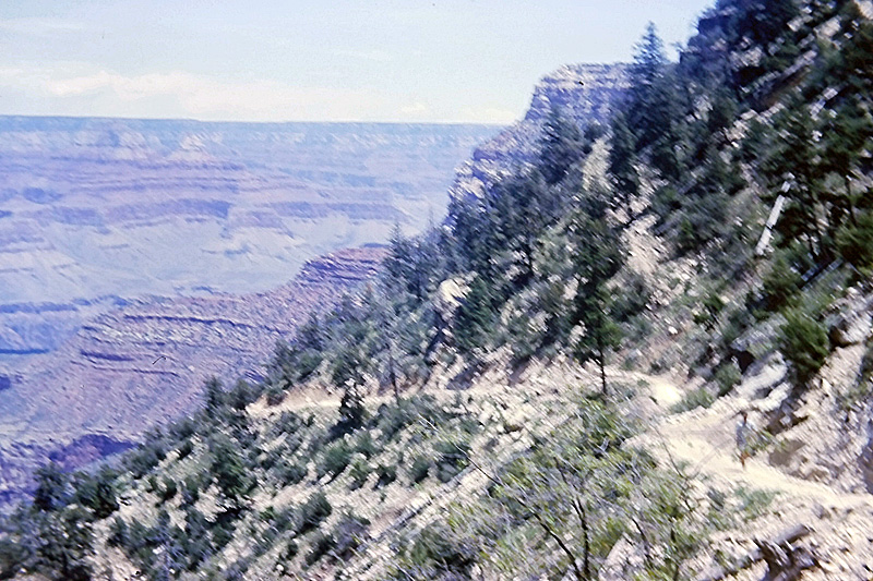
On the zigzag trail down into the canyon
Further down the trail
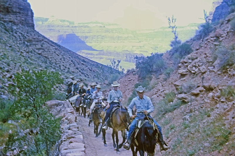
As we were hiking down into the canyon, we met this mule train of tourists taking the easy way up
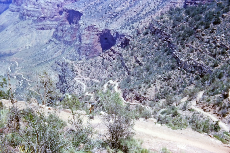
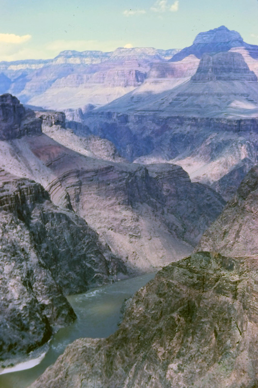
We hiked about two-thirds of the way down the canyon, to a flat plateau. But we did not have time to proceed down the inner canyon to the Colorado River.
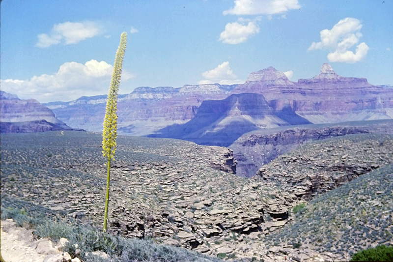
A solitary yucca plant growing on the plateau
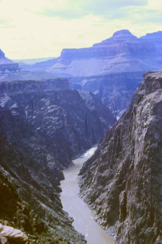
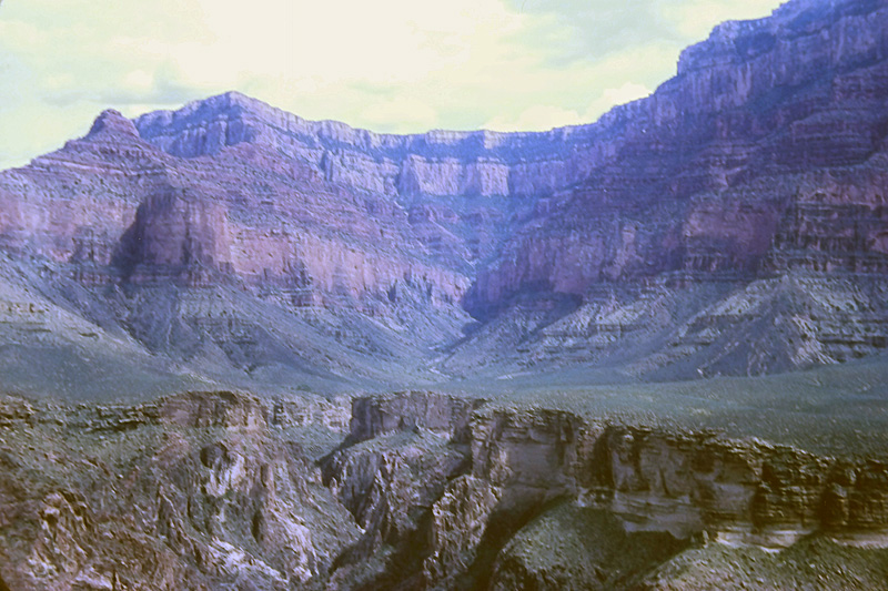
From the plateau, looking down the inner canyon to the river
Another view down to the Colorado River
From the plateau, looking at the return route up to the rim
Back up at the top, the view across to the North Rim
We stayed for a second night at the excellent Grand Canyon campground.
Monday 7 June
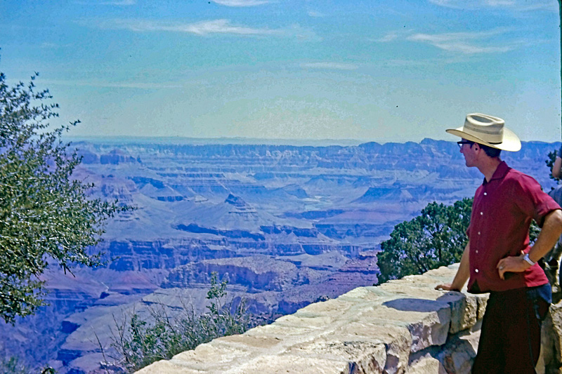
Me at a Grand Canyon overlook
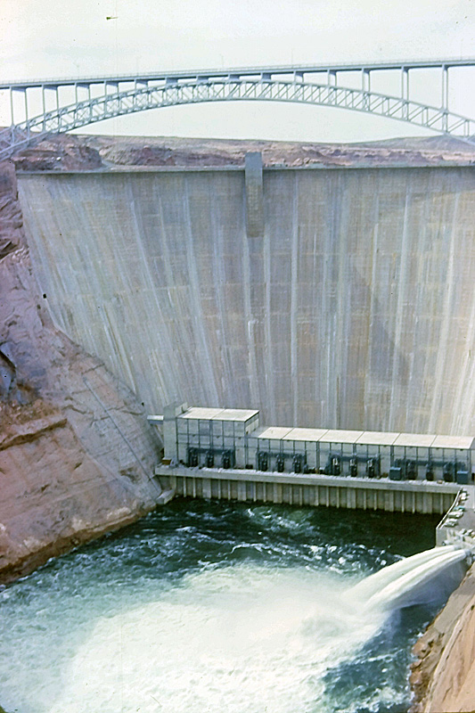
Glen Canyon bridge and dam (almost new in 1965)
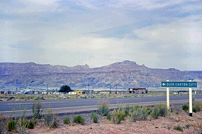
Glen Canyon "City" was a little sprawl of trailer homes housing construction workers for the dam
There were no convenient paved roads from Glen Canyon to Bryce Canyon, so we took a short cut across Utah along dirt tracks created by uranium prospectors in the 1950s. At one point, the track had been washed away where it crossed an arroyo, but fortunately we managed to find a diversion around it.
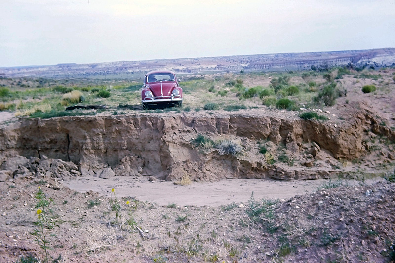
Diversion needed!
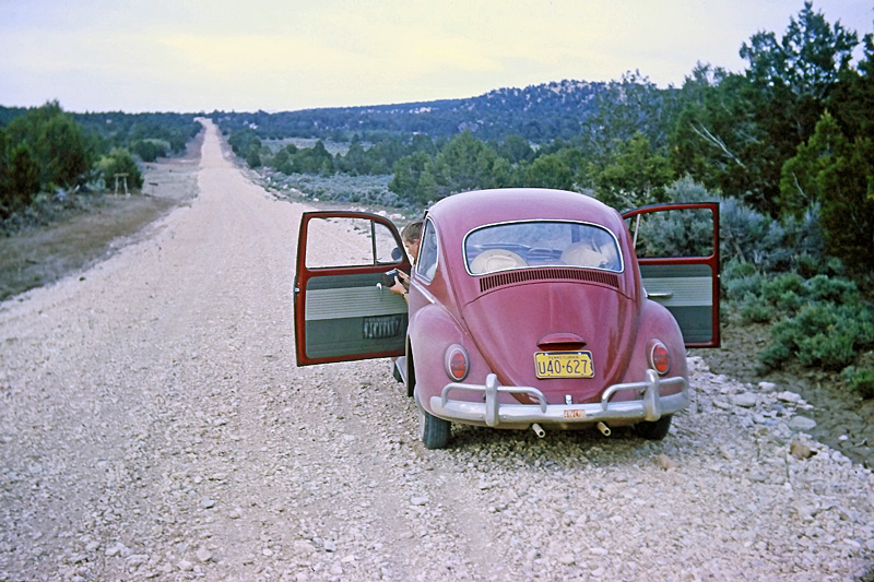
Further along the short cut
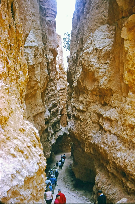
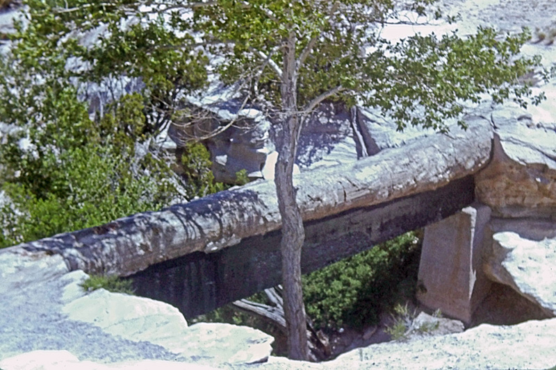
Bryce Canyon National Park
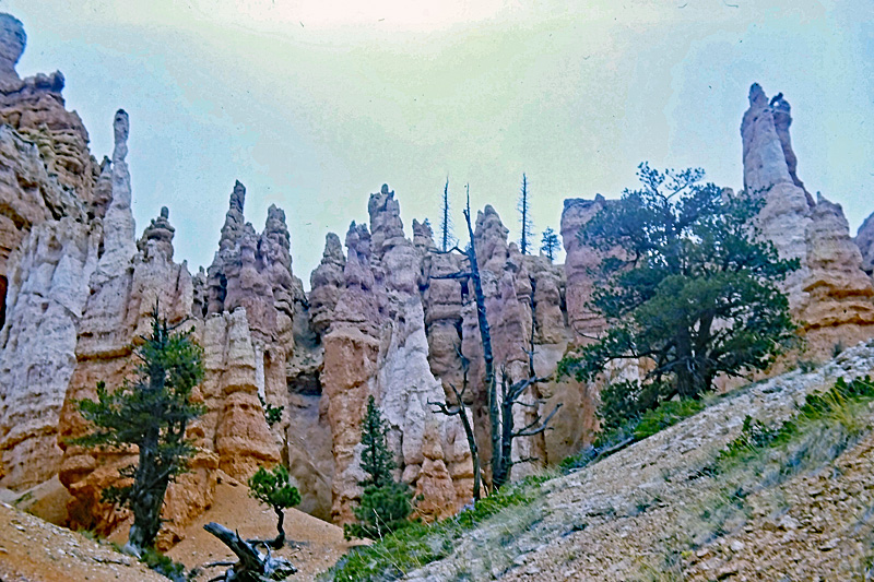
Bryce Canyon
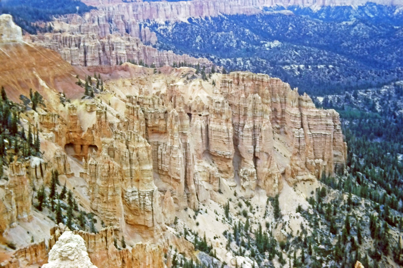
Bryce Canyon
We camped in Bryce Canyon National Park.